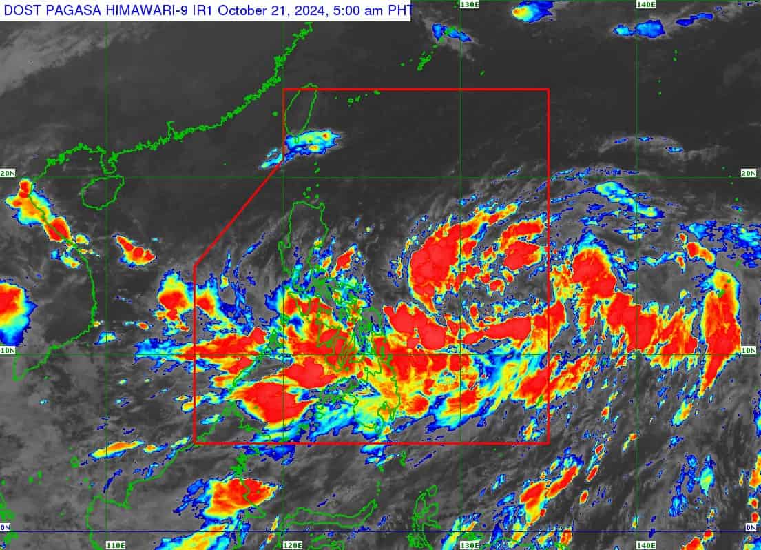
Parts of PH under signal no. 1 due to 'Kristine'
2024-Oct-21 10:35

(PAGASA)
MANILA – The tropical depression (TD) has entered the Philippine Area of Responsibility and was named Kristine, the weather bureau said Monday.
The Philippine Atmospheric, Geophysical and Astronomical Services Administration (PAGASA) said Kristine has maximum sustained winds of 55 kilometers per hour near the center and gustiness of up to 70 kph. It was last tracked 1,050 km east of southeastern Luzon.
Tropical cyclone wind signal no. 1 was hoisted over Catanduanes, the northeastern portion of Northern Samar (Laoang, Palapag, Mapanas, Gamay, Catubig, Lapinig), and the northeast portion of Eastern Samar (Jipapad, Arteche, San Policarpo, Oras). Strong winds will prevail in those areas.
The TD will also cause strong to gale-force gusts over the southern portion of Palawan, Siquijor, Bohol, Zamboanga Peninsula, northern Mindanao, Dinagat Islands, Surigao del Norte, Agudan del Norte, Bangsamoro Autonomous Region in Muslim Mindanao, Sarangani, Davao del Sur, and Davao Oriental.
Moderate to rough seas over the seaboards of Isabela, the seaboard of the northern portion of Aurora, Catanduanes, Northern Samar, and the eastern seaboard of Mainland Cagayan, the seaboard of Batanes, the remaining seaboards of Cagayan and Aurora, the eastern seaboard of Quezon, the remaining eastern seaboard of Bicol Region, and the eastern seaboard of Eastern Samar, the seaboards of Ilocos Region, the seaboard of Dinagat Islands, and the seaboard of Davao Region.
Mariners of motor bancas and similarly-sized vessels are advised to take precautionary measures while venturing out to the sea and, if possible, avoid navigation under these conditions.
Meanwhile, Kristine is forecast to intensify into a tropical storm in the next 12 hours.
It is also likely to make landfall over northern Luzon by Friday, PAGASA said. (PNA)
