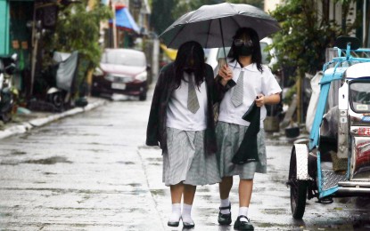
More areas under Signal No. 1 as 'Nika' intensifies
2024-Nov-10 13:00

(PNA/Avito C. Dalan)
MANILA – Nika has intensified into a tropical storm, located 1,005 kilometers east of southeastern Luzon, as of the 5 p.m. bulletin Saturday of state weather bureau Philippine Atmospheric, Geophysical and Astronomical Services Administration (PAGASA).
It will gradually intensify to severe tropical storm prior to landfall over Isabela or Aurora on Monday afternoon or evening.
Weakening is expected during its passage due to interaction with the terrain of mainland Luzon.
Tropical Cyclone Wind Signal No. 1 is up in the southeastern portion of Isabela (Dinapigue), the northern portion of Aurora (Dilasag, Casiguran, Dinalungan), the southeastern portion of mainland Quezon (Calauag, Guinayangan, Tagkawayan), Pollilo Islands, Camarines Norte, Camarines Sur, Catanduanes, and the northeastern portion of Albay (Malinao, Tiwi, City of Tabaco, Bacacay, Malilipot, Rapu-Rapu).
Minimal to minor impacts from strong winds are possible within any of the areas under Signal No. 1, according to PAGASA.
On Monday afternoon to Tuesday afternoon, Cagayan, Apayao and Isabela are forecast to experience intense to torrential rainfall on Monday and Tuesday; while it will be heavy to intense in Abra, Kalinga, Mountain Province, Ilocos Norte, Ilocos Sur and Aurora.
Ifugao and Quirino may also experience moderate to heavy rains during the forecast period. (PNA)
